Storms Target Texas — Houston Braces for Heavy Rain |
🌩️ The Southside Signal WEATHER ALERT: |

LaMont Gilbert and the Team
Apr 1, 2026
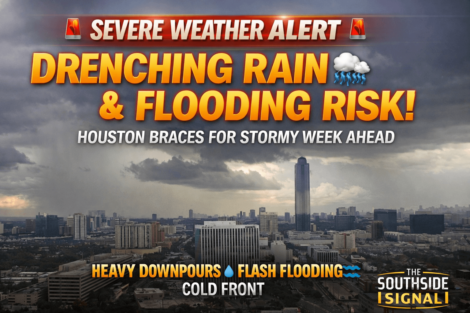 |
Texas is gearing up for a volatile stretch of weather this week, but for Houston—this isn’t about tornado sirens… it’s about soaking rain and potential street flooding. According to forecasters, the most dangerous storms are expected to stay north and west of Houston, stretching from the Red River down toward the Rio Grande. These areas could see damaging winds, large hail, and even isolated tornadoes as storms fire up midweek. ⚠️ North & West Texas in the Danger ZoneAn incoming system is expected to spark strong thunderstorms late Wednesday into the evening. 🌧️ Houston’s Story: Rain, Rain… and More RainCloser to home, Southeast Texas—including Houston—will see multiple rounds of showers and thunderstorms.
👉 Translation: Flooding risk in low-lying areas is the real concern ⛈️ Thursday Turns Up the PressureRain chances increase Thursday as a cold front slides in and stalls near the region.
While widespread severe weather isn’t expected, a few storms could still hit hard in short bursts. 🌊 Weekend Watch: Stronger System IncomingSaturday is shaping up to be the main event. A stronger cold front is expected to move through, bringing:
Southeast Texas is currently under a low-level flood risk, but that can escalate quickly if storms stall. 🌡️ Big Temperature Drop ComingRight now, it’s feeling like early summer:
But once that front moves through: 👉 Temps drop into the 60s and low 70s by Sunday 📢 Bottom Line
📰 Stay locked in with The Southside Signal |